
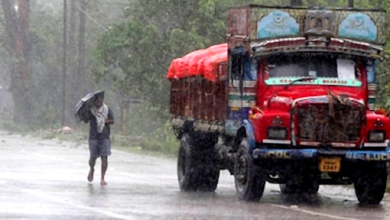
Even as Mumbai rains have been hitting headlines for a week now, it is the weather in Delhi that has been seeing unusual changes this year. After recording highest single-day rain since 1976 on May 20, the national capital may set another record of earliest monsoon in the last 13 years. This may happen if the southwest monsoon, which is advancing at a rate faster than normal, hits Delhi on June 15.
A report in The Times of India quoted IMD scientist Kuldeep Srivastava as saying that there is a greater likelihood of the monsoon reaching Delhi by June 15 and covering the entire country by June 16. “So far, the expected date is June 15. This will be 12 days in advance. We can expect light to moderate rains all through this week, which will keep the maximum temperature below normal,” said Srivastava.
On Saturday, while no showers were recorded during the day, the weather changed towards the night as gusty winds were reported across the capital, accompanied with light rain in some places. The day’s maximum temperature was 35.8 degrees Celsius, four degrees below normal. Moderate showers are forecast for Sunday.
According to the report, the normal date for the onset of the southwest monsoon in the capital is June 27, meaning this year it could be two weeks in advance of the regular.
THE MONSOON PATTERN SO FAR:
The date for the onset of the southwest monsoon in Delhi was revised from June 29 last year by India Meteorological Department after factoring in data from 1961 onwards.
Last year too, the monsoon hit Delhi early, reaching the capital on June 25. In 2019, it was delayed by almost a week, with the first rain in the city on July 5. In 2018, the onset was declared on June 28, the report stated.
IMD data since 2003 shows the monsoon hitting Delhi in June only eight times, and arriving only in the first week of July in the rest of the years. The forecast for Sunday is gusty winds of 30-40 km/hr, with a yellow alert in place for moderate rainfall.
The maximum temperature is expected to stay around 35 degrees Celsius. IMD’s seven-day forecast also shows a yellow alert till June 18, with light to moderate activity expected all week.
EFFECT ON AIR QUALITY
According to the TOI report, the increase in wind speed, meanwhile, has improved Delhi’s air to the lower half of the ‘moderate’ pollution category. On Saturday, the air quality was 133 on CPCB’s index. It is expected to fall below 100 in the next 24 hours.
“The wind shift from westerly to easterly has led to improvement in air quality due to the decrease in the long-range transport of dust from Rajasthan’s arid regions,” SAFAR, a body under the Union ministry of earth science, was quoted as saying.
“The wind speed is predicted to stay high for the next three days and isolated rainfall is likely in Delhi. The AQI is likely to improve and stay in the moderate-satisfactory categories for the next three days.” It added that the component of coarser particles in pollution compared with finer particles was fairly high.
WHY IS DELHI SEEING AN EARLY MONSOON?
According to a report in Indian Express, these factors include a low pressure area and cyclonic circulation over northwest Bay of Bengal, an east-west trough running from south Punjab to centre of low pressure area over northwest Bay of Bengal, strong south-westerly winds along the west coast and an off-shore trough off the west coast.
IMD officials said these conditions are making it conducive for the monsoon to advance rapidly.
Read all the Latest News, Breaking News and Coronavirus News here.


Comments
0 comment