
The government on Thursday said that the issue of wrong depiction of India’s map on the World Health Organisation’s (WHO) website has been strongly raised at the highest level.
The Minister of State of the Ministry of external affairs (MEA) V Muraleedharan said that the WHO has put out a disclaimer on the portal.
“The issue of wrong depiction of map of India on World Health Organisation’s website has been raised strongly with WHO including at the highest level. In response WHO has informed Permanent Mission of India in Geneva that they’ve put a disclaimer on portal,” the minister said, Hindustan Times reported.
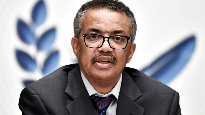
The government has conveyed its ‘deep displeasure’ to WHO chief Tedros Adhanom Ghebreyesus over the issue. The government has also sent three letter to the WHO chief, through its mission in Geneva.
“The disclaimer says designations employed and presentation of these materials don’t imply expression of any opinion on part of WHO concerning legal status of any country, territory or area or of its authorities or concerning legal status of any country, territory or area of its authorities or concerning delimitation of its frontiers or boundaries. Dotted/dashed lines on maps represent approximate border lines for which there may not be full agreement,” Muraleedharan added.
The minister concluded that the government’s position on right depiction of boundaries is unambiguously reiterated.
In the letter sent on January 8, India has asked WHO to replace the incorrect maps. The maps show the union territories of Jammu and Kashmir and Ladakh in a different shade than the rest of India.
The Shaksgam valley spread in more than 5,000 sq km is shown as part of China while the Aksai Chin region occupied by China is shown in blue strips, to depict it as Chinese territory.
Read all the Latest News, Breaking News and Coronavirus News here


Comments
0 comment